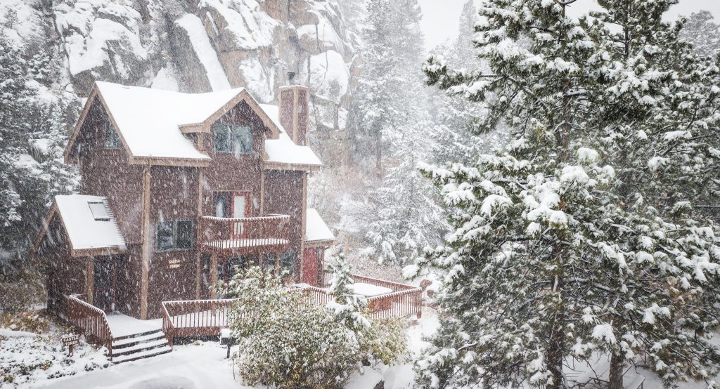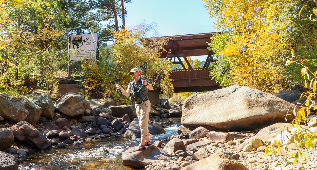
When snow blankets the peaks of Rocky Mountain National Park and the air turns crisp and quiet, Estes Park becomes something magical — a peaceful winter wonderland. Tucked along the banks of the Fall River, Castle Mountain Lodge offers the perfect home base for adventurers, romantics, and families seeking the beauty of Colorado in its most tranquil season.
Imagine waking up in a riverside cabin, stepping outside to see elk moving through the snow, and ending your day with a soak beneath the stars. That’s a typical winter day at Castle Mountain Lodge.
Snowshoeing Adventures in Rocky Mountain National Park
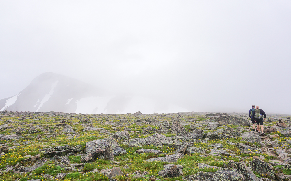
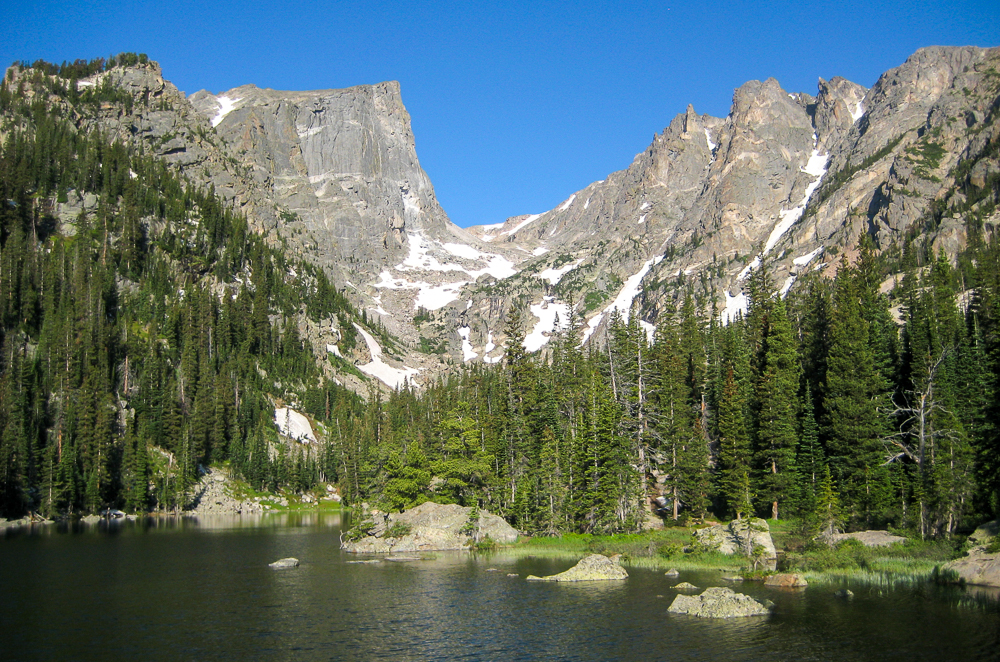
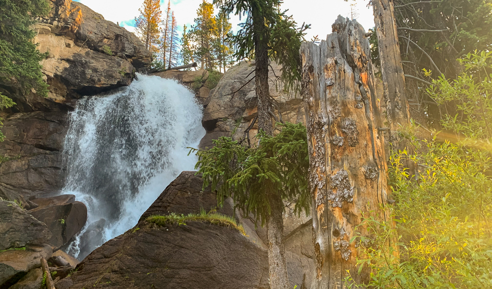
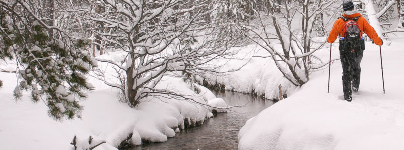
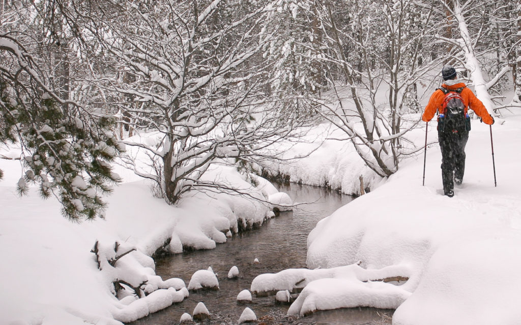
Winter transforms Rocky Mountain National Park into a serene paradise of powder-covered trails and silent forests. Snowshoeing is one of the most accessible and rewarding ways to explore it — no lift tickets, no crowds, just peace and fresh mountain air.
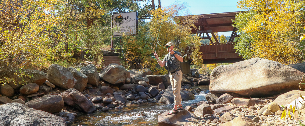
Guests at Castle Mountain Lodge love how close the park is — just a few minutes’ drive to the Fall River Entrance. Popular snowshoeing routes like Bear Lake Loop, Sprague Lake, Cub Lake, and Deer Mountain offer gentle, scenic routes for beginners as well as steeper climbs for seasoned trekkers.
If you don’t have gear, no problem: several outfitters in Estes Park offer daily snowshoe rentals and guided tours. We even have snowshoe rentals and ice spike rentals in our lobby for just $10 per pair for your entire stay. After a morning on the trails, you’ll be glad your cozy cabin is just down the road, ready for a warm fire and a cup of cocoa.
Pro tip: check the Rocky Mountain National Park conditions page before heading out for up-to-date snow and trail reports.
Cozy Cabins with Fireplaces and Riverside Views
Nothing beats coming home to your own fireplace cabin after a day in the snow. At Castle Mountain Lodge, every cottage and room is designed for warmth and comfort. From the glow of wood-burning fireplaces to the soft sounds of the Fall River right outside, this is winter lodging at its most peaceful.
You’ll find cabins sized for every traveler — romantic one-bedrooms, family-friendly two- and three-bedroom cottages, and classic motel rooms for quick getaways. Each features rustic mountain charm blended with modern amenities like full kitchens, Wi-Fi, and cable TV (for those evenings when you’re snowed in with a movie).
Unlike crowded resorts, Castle Mountain Lodge gives you privacy, space, and a genuine mountain-town atmosphere. Whether you’re visiting for a honeymoon, a quiet retreat, or a family adventure, you’ll feel at home the moment you arrive.
Ready to reserve your favorite cabin? Book your stay directly to get the best winter rates.
♨️ Hot Tubs Under the Stars: The Ultimate Après-Snowshoe Experience
The only thing better than hiking through snow-covered trails? Slipping into a steaming hot tub afterward.
At Castle Mountain Lodge, you can soak under a blanket of stars while the snow falls quietly around you. The combination of crisp mountain air and soothing heat is the perfect way to unwind tired legs and reconnect with loved ones.
Guests often describe the experience as “pure Colorado magic.” Whether you’re relaxing solo or sharing a bottle of wine with someone special, the hot tubs at Castle Mountain Lodge offer the perfect blend of luxury and nature.
Pro tip: plan your soak after dark on clear nights — the high elevation and minimal light pollution make for incredible stargazing.
️ Winter Fun Beyond the Park: Local Dining & Downtown Delights
When you’re ready to thaw out and explore, Estes Park has plenty to offer in the colder months. The charming downtown area stays lively year-round, filled with twinkle lights, cozy cafés, and locally owned shops.
Warm up with craft cocktails at The Rock Inn Mountain Tavern, enjoy locally sourced mountain cuisine at Bird & Jim, or grab a latte at Inkwell & Brew along the riverwalk. Many of these restaurants feature fireplaces and live music — perfect for après-adventure evenings.
Other nearby winter favorites include:
Sledding at Hidden Valley inside Rocky Mountain National Park (the park’s only sledding area).
Ice skating and tubing at the YMCA of the Rockies.
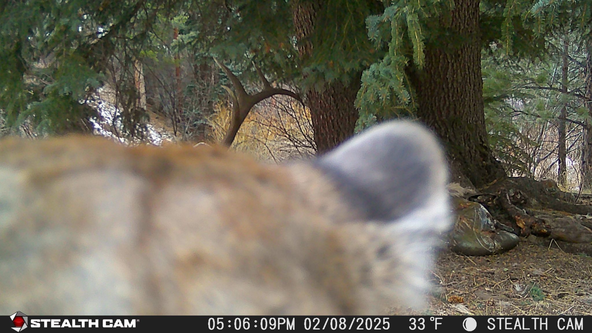
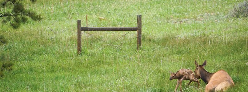
Wildlife watching: winter is prime time for spotting elk, deer, and even turkeys wandering through the snow.
And the best part? All of this is within a 5-minute drive of Castle Mountain Lodge.
Why Castle Mountain Lodge Is the Perfect Winter Base
There are dozens of places to stay in Estes Park, but few combine location, charm, and authenticity quite like Castle Mountain Lodge. Here’s why winter guests keep returning year after year:
Fireplaces in every cabin — real warmth and mountain atmosphere.
Private or shared hot tubs — relaxation under the stars.
Riverside setting — listen to the soothing sounds of Fall River.
Close to park entrance — avoid downtown traffic and get on the trails early.
Family-run hospitality — personal touches you won’t find at chain hotels.
Whether you’re coming for snowshoeing, stargazing, or simply a weekend of peace and quiet, Castle Mountain Lodge makes it effortless.
“We stayed in January and it was magical — snowshoeing all day, soaking all night, and waking up to elk outside our cabin.” – Guest Review
Don’t wait for spring — book your winter wonderland getaway now and experience Estes Park at its most peaceful.
Plan Your Winter Escape Today
Winter in Estes Park isn’t just beautiful — it’s restorative. With fewer crowds, endless stars, and cozy comforts waiting back at your cabin, it’s the kind of trip that stays with you long after the snow melts.
Reserve your cabin today at Castle Mountain Lodge and start planning your perfect Rocky Mountain National Park winter getaway.